The Green-Space Checklist That Can Crowd Out the Visit
A green-space checklist can make a Seattle park outing feel like errands. Use it to choose a destination, then notice how the park meets the city.
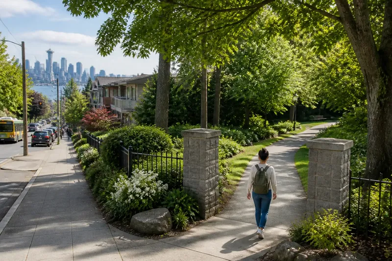
You open a Seattle park map to check where the paths lead, then spot a question you had not planned to ask: where does the park stop feeling like part of the street? A green-space checklist can help you get oriented, but the most revealing details often sit between the named destinations.
Instead of treating a visit as a set of sights to collect, use it to notice how a park works as a piece of the city. Look at its entrances, boundaries, paths and neighbouring streets. That approach makes an ordinary patch of green easier to understand, even if you have little time or no interest in identifying plants.
Read the park’s edges
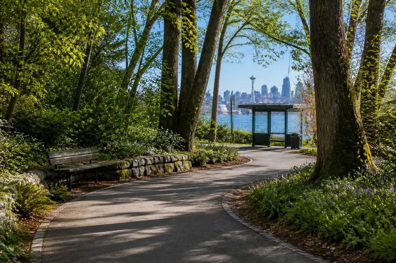
A park’s edge can be a sharp boundary, such as a fence beside a pavement, or a gradual change from lawn to trees. It also shows how the place connects to its surroundings: a path may lead towards a bus stop, a neighbourhood street or a waterfront walk. These transitions tell you more about the park’s role than a list of its most photogenic features.
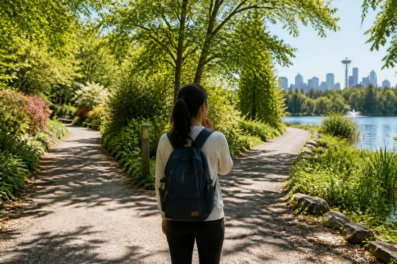
At a large place such as Discovery Park, a map helps you understand the scale and locate a starting point. In a smaller neighbourhood green, you might see the whole layout in a glance. In either case, take note of how people enter, where paths meet, and which sides of the park feel open or enclosed.
Try a simple sequence as you arrive:
- Check the entrance: If it opens directly on a busy pavement, notice whether a path or planting creates a buffer; if it does, follow that transition, and if it does not, look for another entrance that feels easier to approach.
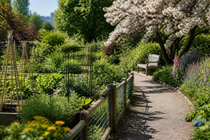
- Look for the boundary: If a fence, hedge or change in ground clearly marks the edge, follow it briefly; if the boundary is gradual, compare the planting and surfaces on either side.
- Find a path junction: If paths converge, pause to see which directions connect to streets or shared spaces; if there is no junction nearby, use the next visible route to understand how the park is arranged.
- Notice the neighbouring use: If homes, shops or a road sit beside the park, observe how the boundary faces them; if the edge meets another green space, follow the connection rather than assuming the park ends there.
- Check your bearings: If the route remains clear, continue towards the area you want to understand; if it becomes confusing, consult the park map before choosing a path.
- Consider access information: If a route or entrance is marked as closed or unsuitable for your needs, choose an open alternative; if the information is unclear, check the relevant park notice or Seattle Parks and Recreation information before setting out.
Choose a useful lens
You do not need a specialist vocabulary to read a landscape. Pick a question that links the park to its surroundings, then look for what changes as you move. For example, notice whether the trees soften the sound of a road, whether a path carries people through or encourages them to stay, or whether a planted strip separates grass from pavement.
Keep the question flexible. You are not trying to reach a definitive answer about why the park was designed a certain way. You are noticing what is visible today: a worn desire path, a busy entrance, a quiet bench, or a change in light where buildings give way to trees.
Trace one connection
Imagine you have a short break and arrive at a small green space beside a neighbourhood street. Your starting point is the pavement entrance, and your question is whether the park provides a calmer route through the block. First, you check the map on your phone and see a path leading to a second street. You walk that path, noting that it passes through trees before opening onto the quieter side. The result is a clear answer for this visit: the park offers a sheltered connection between the two streets, though the entrance itself remains close to traffic. You have learned something useful about the place without trying to see every feature.
The same method can reveal a different kind of connection elsewhere. At a waterfront green space, the question might be how the park meets the water; in a wooded area, it could be how paths link open ground to denser trees. Let the setting shape the question, rather than carrying a fixed list of observations from one park to another.
What should you look for?
How can I tell where a park entrance is?
Look for a path, gate, opening in a hedge or clear break in the boundary, then compare it with the map if you are unsure. An entrance is often easier to understand from the street than from inside the park.
What does a worn path tell me?
It shows where people have walked, but not necessarily whether that route is intended or suitable for every visitor. Check for an established path or park guidance before following a route across planted ground.
How do I notice a park’s connection to the city?
Observe what lies beyond its edges and where its paths lead. A route towards a street, transit stop or another public space can show how the park fits into everyday movement.
Do I need a map for a small park?
Not always, but a map can help if you are meeting someone, looking for a particular entrance or checking access information. If the layout is clear, use it briefly for orientation and then pay attention to the space itself.
Use the checklist lightly
A green-space checklist is most useful for practical choices: finding an entrance, checking a route or deciding which part of the park to explore. Once those choices are settled, trade the list of attractions for one question about the landscape’s connection to the city.
Next time you visit a Seattle park, notice what happens at the boundary between green space and street. That small shift in perspective can help you understand not just what is inside the park, but how people reach it, move through it and share its edges.